Featured Project
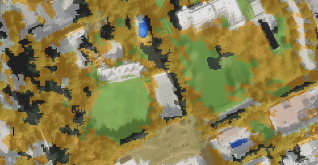
Seasonal Landscapes of Mono County, California
An interactive web map exploring public access to autumn foliage through satellite imagery, public lands, trail networks, and Eastern Sierra terrain.
Research & Remote Sensing
Report-based research and analysis
These projects combine remote sensing, GIS, and spatial analysis to investigate environmental processes, landscape change, and resource management. Each project includes a full analytical workflow and written report.
Interactive Web Maps
Public-facing mapping and spatial storytelling
Interactive projects designed for exploration, communication, and visual storytelling through browser-based mapping tools.
Tree Tech
Click to learn more about the tools that make Tree Tech.